GIS & Mapping

GIS Database Development
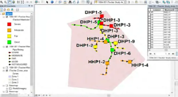
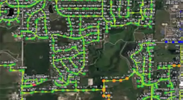
To ensure proper snapping and connectivity of the features inside your geodatabase, sewer features are built inside the database and run through geometric network and topology checks. Data is imported into software to identify any problems and refine the QA/QC procedures using these parameters:
- Sewer mains are drawn from manhole to manhole in the direction of flow.
- Sewer force mains are drawn from feature to feature (i.e. ARV to manhole) in the direction of forced flow.
- Manholes, pump stations, and ARV’s are snapped to the endpoints of lines.
- Data collected on pipes in the attribute collection are transferred to the sewer main feature in the GIS, including the upstream and downstream elevations of the pipe.
- Traces are performed to verify the physical connectivity of the points and lines and to ensure pipe material and diameter changes occur as expected.
- The pipe slopes are calculated and analyzed. Outliers of negative, flat, or very steep slopes will be checked.


